
 Cart
CartPoints of Interest Map Finding Tool
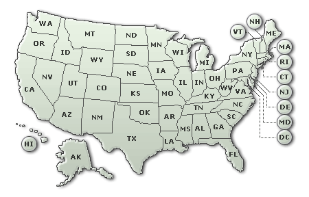
To use our map finding tool, choose a state from the list below and then click the category you are interested in researching.
Select a State:
About the Points of Interest Browse
Sometimes when trying to find the perfect map you are unfamiliar with the geographic layout of the area you are researching or you do not know the exact place name or even the county to look for when using the Geographic Browse.
If you find yourself in such a situation, try the Points of Interest Browse. This new atlas and map look-up tool contains 3 million of the most popular places and geographical features found within our atlas collections and is designed to help you find the content that interests you the most.
Points of Interest Browse also gives you the rare opportunity to go back in time to see what an area looked like before any modern developments took place. For example, using the GEOCODE button, researchers have the ability to narrow their search even more by being taken directly to a list of specific maps which cover the geographic area the point of interest is located in - even if the old map predates the building of that feature by a couple hundred years!
How do I get started?
To get started, all you need to do is choose a state and you will be presented with over 60 different categories of Points of Interest to choose from. A sample of the Points of Interest categories are: buildings, cemeteries, churches, hospitals, lakes, parks, summits and dozens of others. Choose a category and you will be shown an alphabetical list of the points of interest and links to the relevant cartographic materials within our collection.
Used in conjunction with the Geographic Browse as well as the various searches on our site (like GPS and Address Lookup) this new tool will help you explore the collection from a different angle.
So how will this help your research in real life?
Take the following example-you are doing family history research, but don't know how to go about finding your grandfather's name on any of the maps due to the fact you are missing some vital information about his life. Perhaps you know he was born in Iowa, but all you know about the name of the town was that it was called "Port" something. By clicking the Populated Places category in Iowa, you can quickly read through a list of Iowa place names which begin with those letters. After deciding that the town of Port Allen is candidate, you are then shown a list of atlases which cover that geographic area. In this case, our Point of Interest Browse tells you Port Allen is located in Muscatine County and provides direct links to our Muscatine County atlases from the years 1884, 1899, 1916, 1943, 1967, 1971, 1973, 1975, 1977 1982 as well as two Iowa state atlases from 1875 and 1904. Having selected the 1916 atlas you were able to find a plat map that shows your grandfather's name.
Similar results could be found if you knew that he talked about growing up next to a certain church, hospital, or school. Just click the appropriate Points of Interest category in Iowa and you'll be taken to a preselected list of atlases and which cover that area on a county or city level.