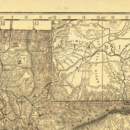
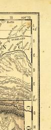
Cart
CartOur Most Popular Hot 100 Maps


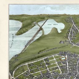
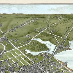
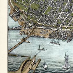
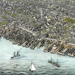


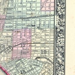

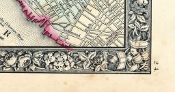

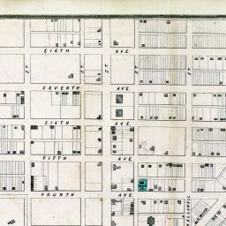
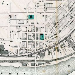
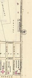
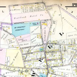
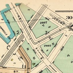
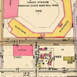
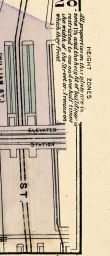
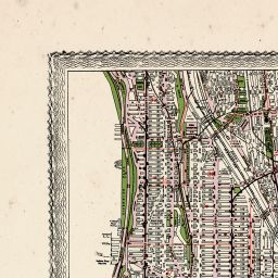
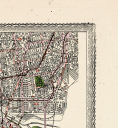
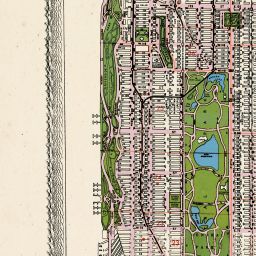
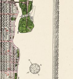
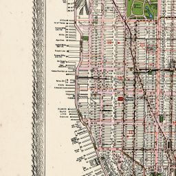
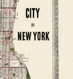
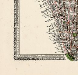
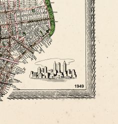
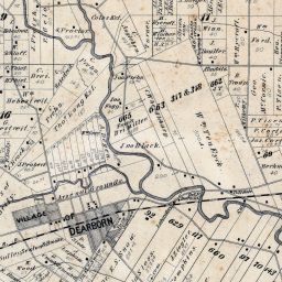
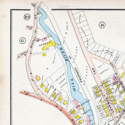
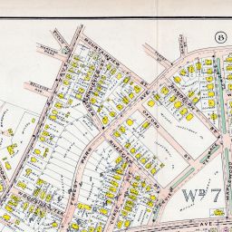
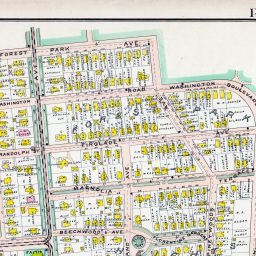
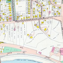
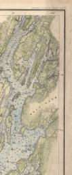
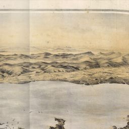
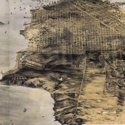
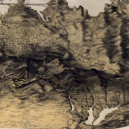
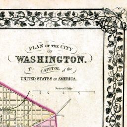
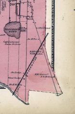
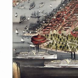
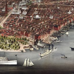
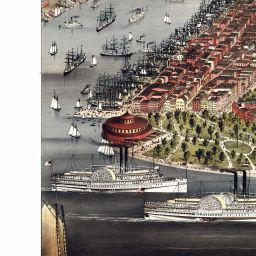
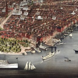
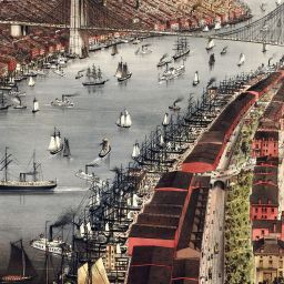
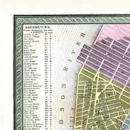
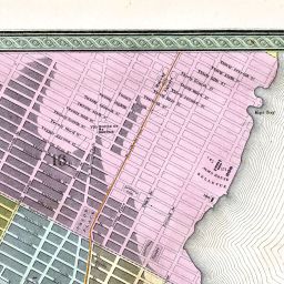
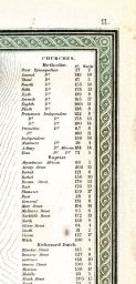
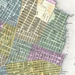
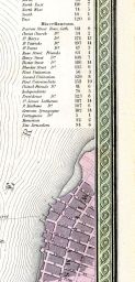
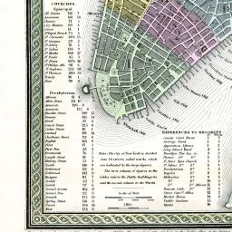
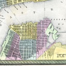
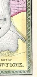
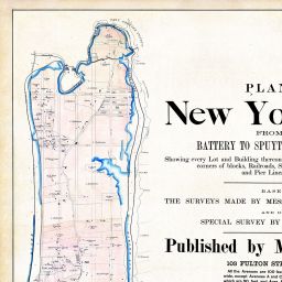
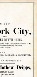
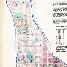
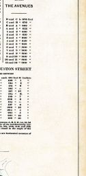
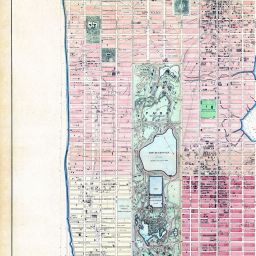
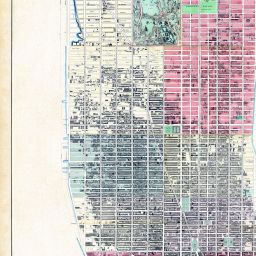
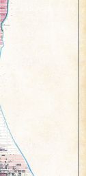
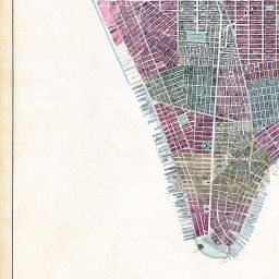
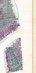
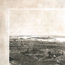
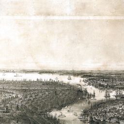
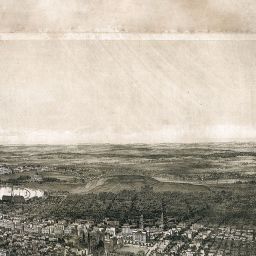
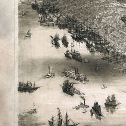
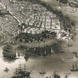
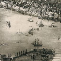
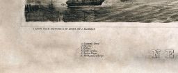
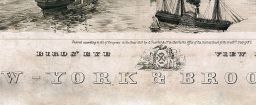
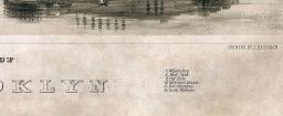
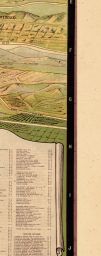
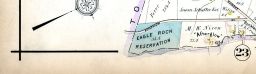
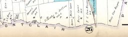
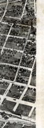
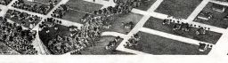
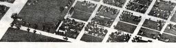
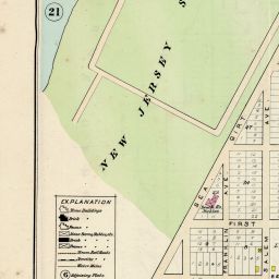
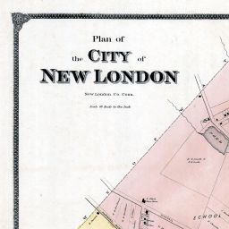
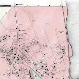
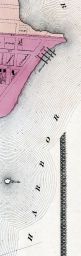
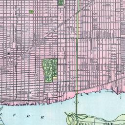
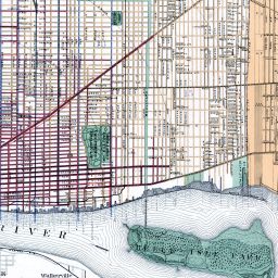
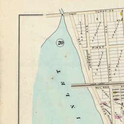
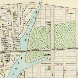
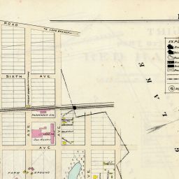
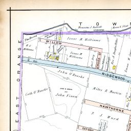
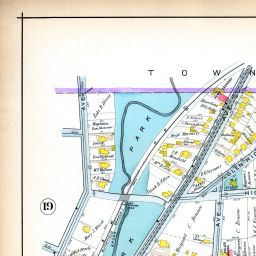
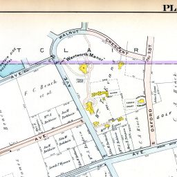
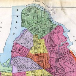
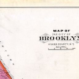
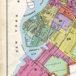
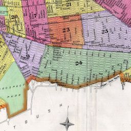
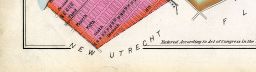
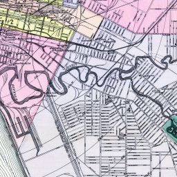
New York City 1867 Dripps Central Park Composite A
(New York City 1867 Dripps Central Park Composite)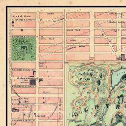
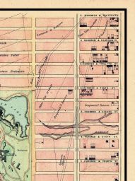
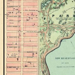
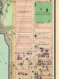
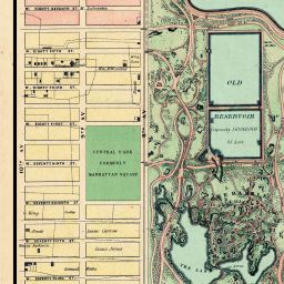
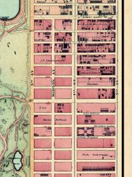
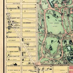
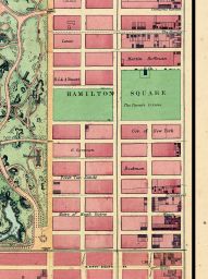
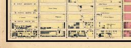
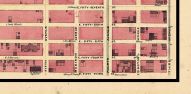
(New York City 1867 Dripps Central Park Composite)


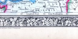
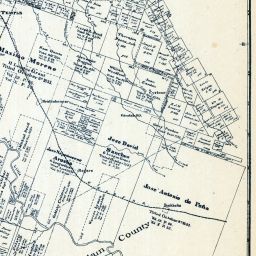
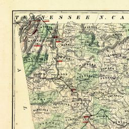
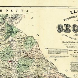
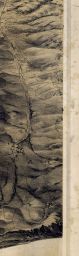
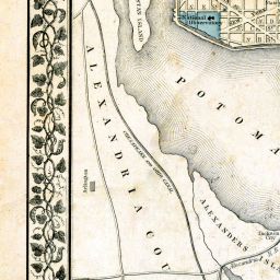
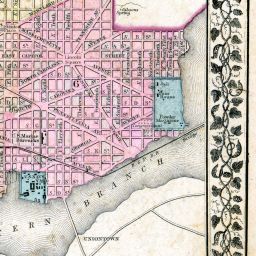
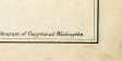
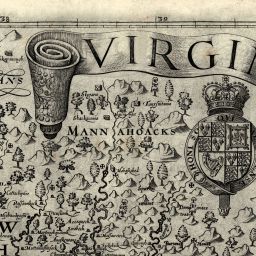
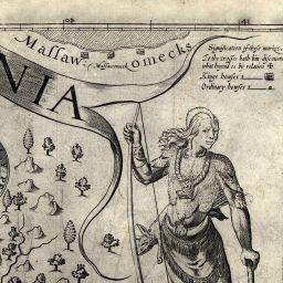
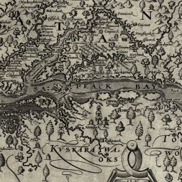
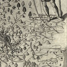
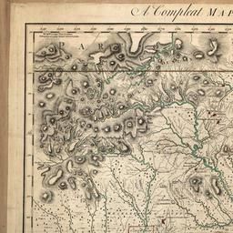
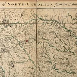
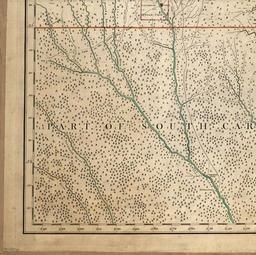
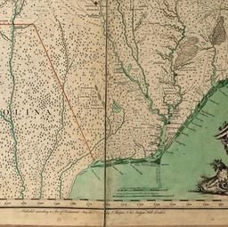
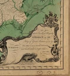
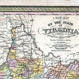
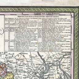
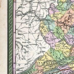
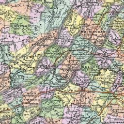
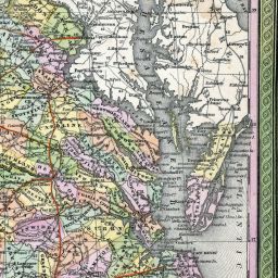
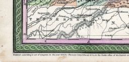
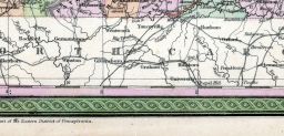
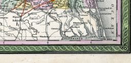
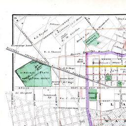
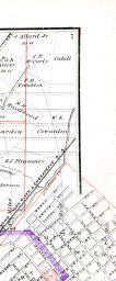
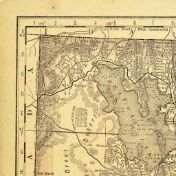
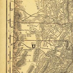
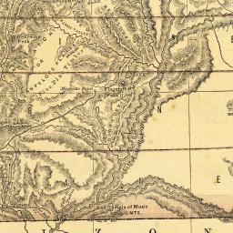
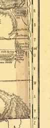
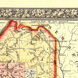
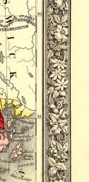
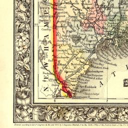
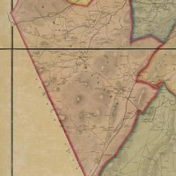
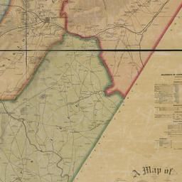
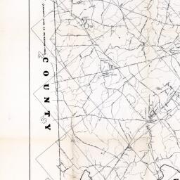
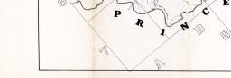
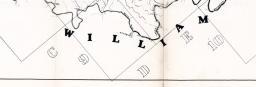
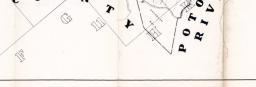
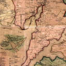
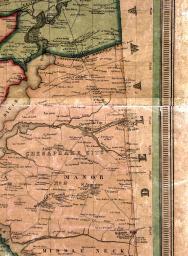
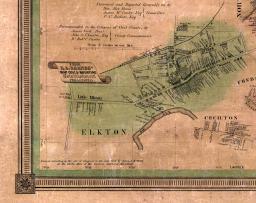
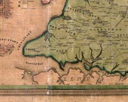
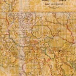
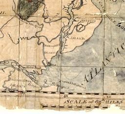
Virginia 1755 Map of the Most Inhabited part of Virginia etc
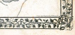
(Virginia 1755 Map of the Most Inhabited part of Virginia etc Created by Fry and Jefferson in 1751)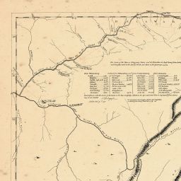

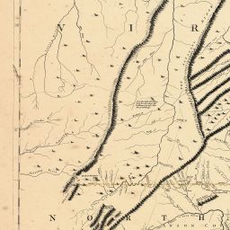
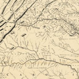
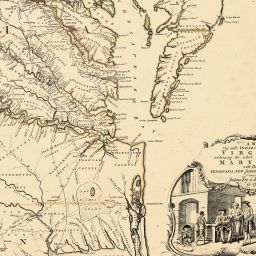

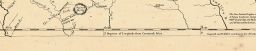
(Virginia 1755 Map of the Most Inhabited part of Virginia etc Created by Fry and Jefferson in 1751)
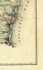
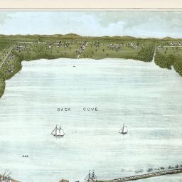
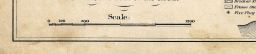
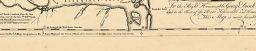
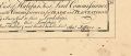
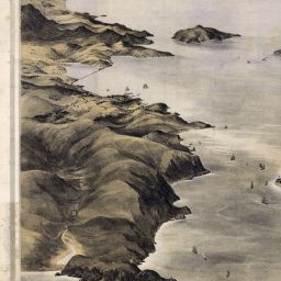
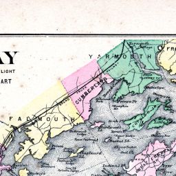
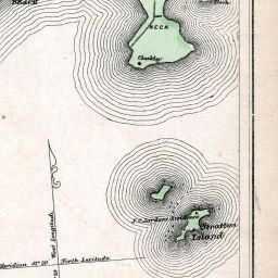
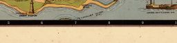
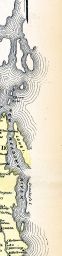
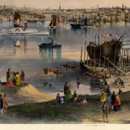
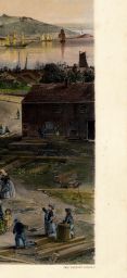
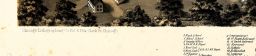
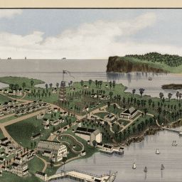
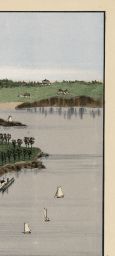
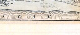
Casco Bay Chart 1870 Maine - Hand Coloring by John R. Barrows
(Casco Bay Chart 1870 Maine - Hand Coloring by John R. Barrows )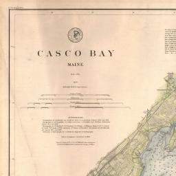
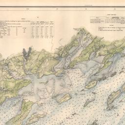
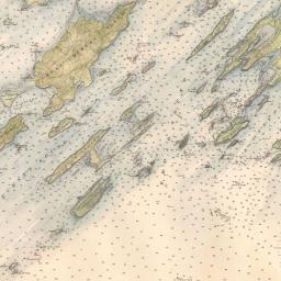
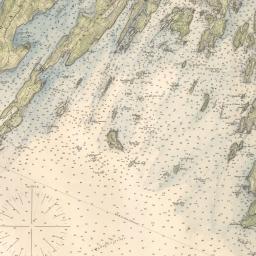

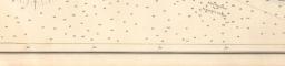
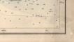
(Casco Bay Chart 1870 Maine - Hand Coloring by John R. Barrows )


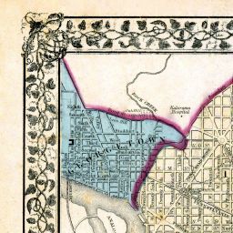


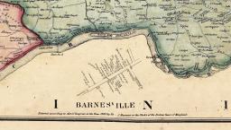
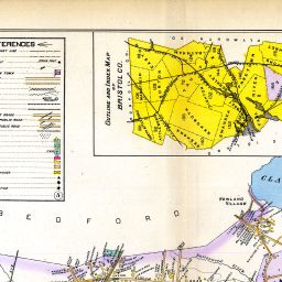
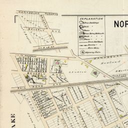
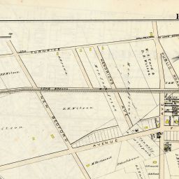
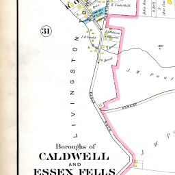
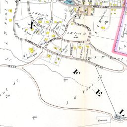
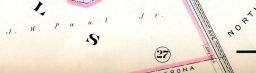
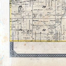
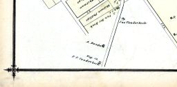
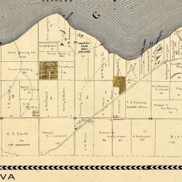
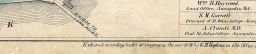
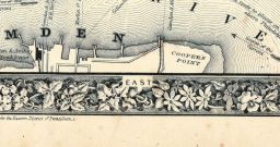
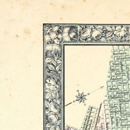
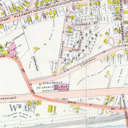
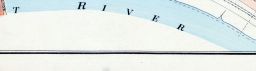
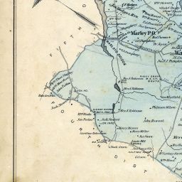
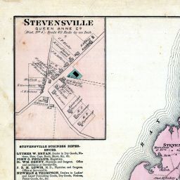
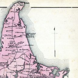
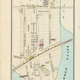
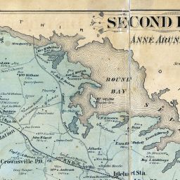
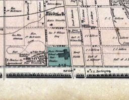
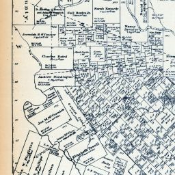
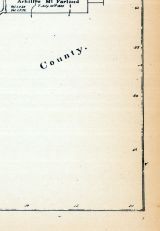
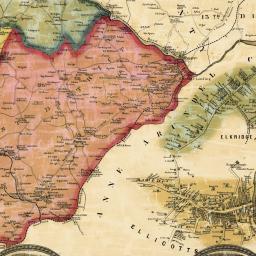
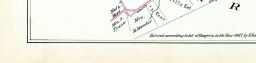
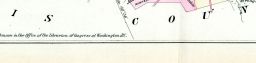
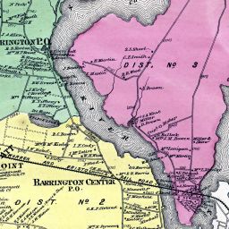
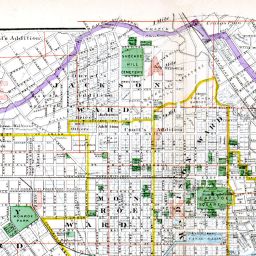
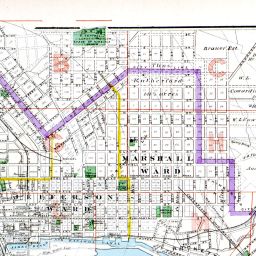
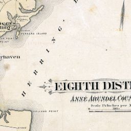
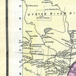
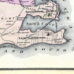
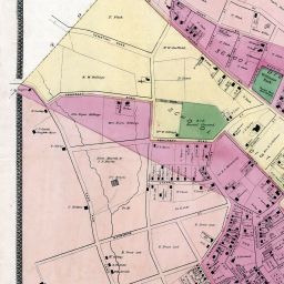
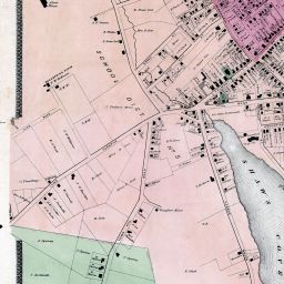
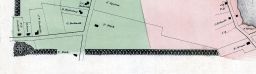
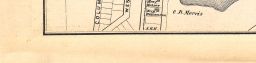
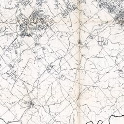
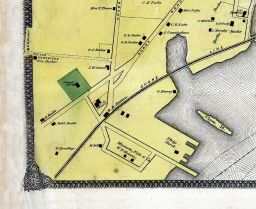
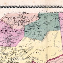
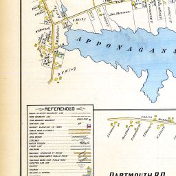
Anne Arundel County - District 1, Galesville, Owensville, West River
(Baltimore and Anne Arundel County 1878)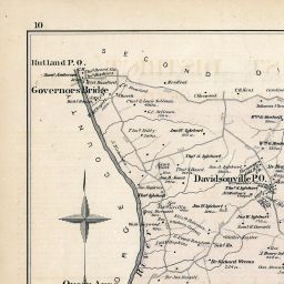
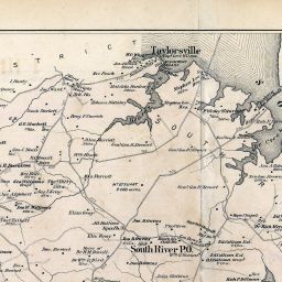
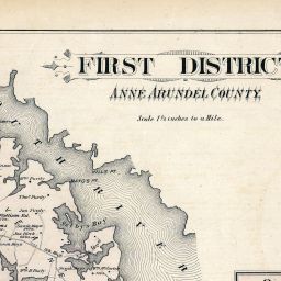
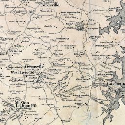
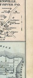
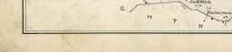
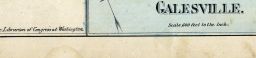
(Baltimore and Anne Arundel County 1878)


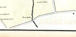
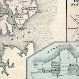
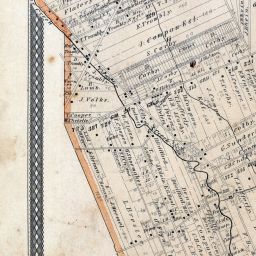
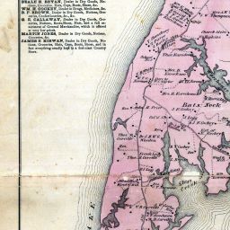
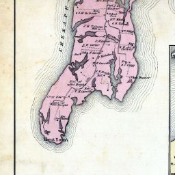
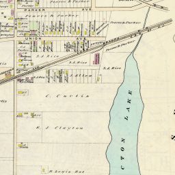
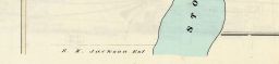
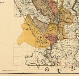
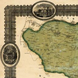
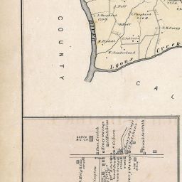
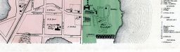
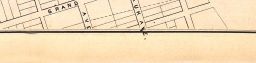
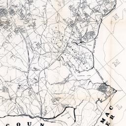
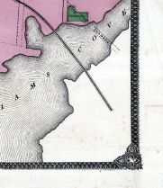
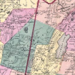
Anne Arundel County - District 3, Jacobsville, St. Margarets, Waterford, Chesapeake Bay, Magothy River
(Baltimore and Anne Arundel County 1878)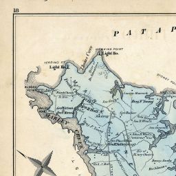

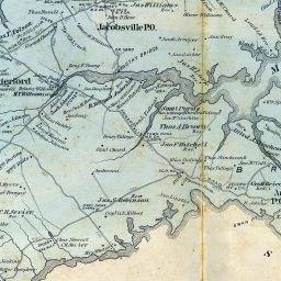
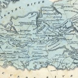
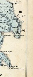


(Baltimore and Anne Arundel County 1878)
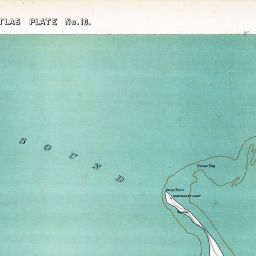
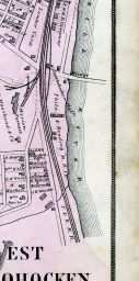
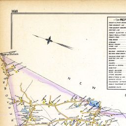
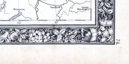
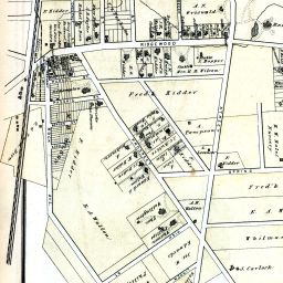
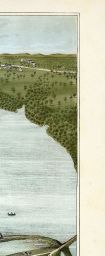
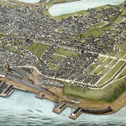
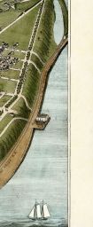
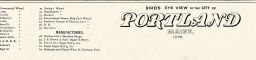
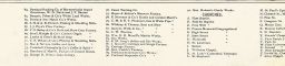
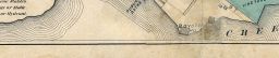
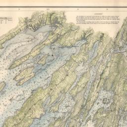
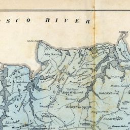
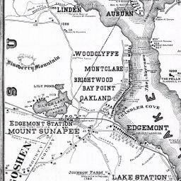
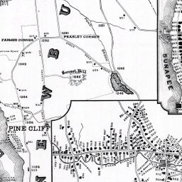
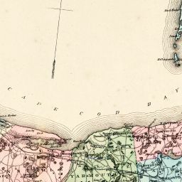
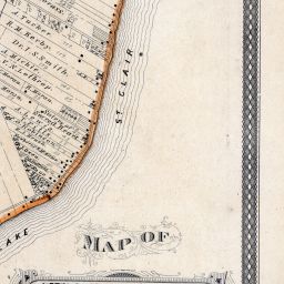
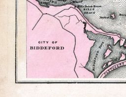
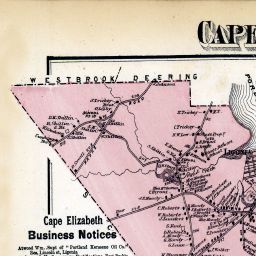
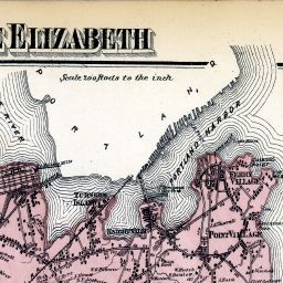
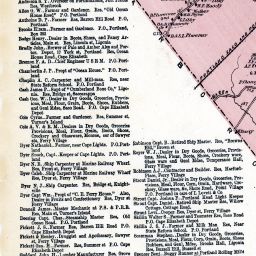
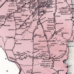
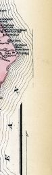
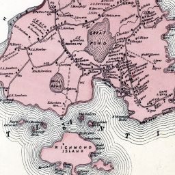
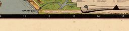
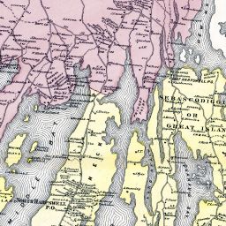
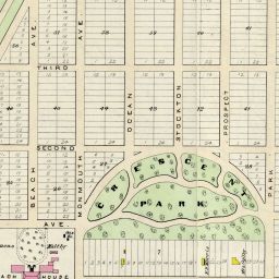
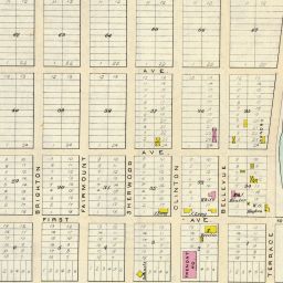
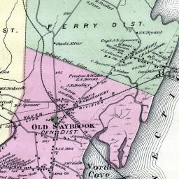
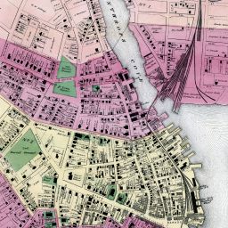
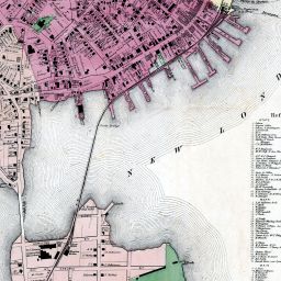
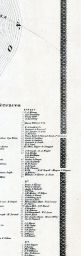
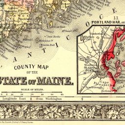
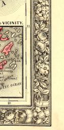
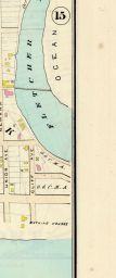
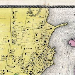
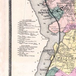
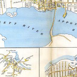
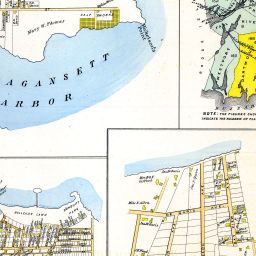
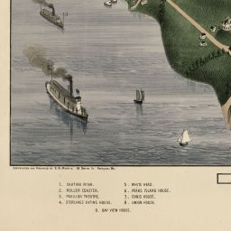
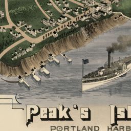
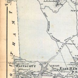
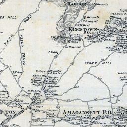
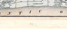
Casco Bay, Scarborough, Cape Elizabeth, Portland, Falmouth, Cumberland, Yarmouth, Freeport, Peaks Island
(Maine State Atlas 1884)


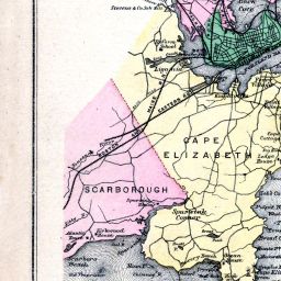
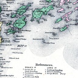


(Maine State Atlas 1884)


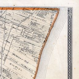


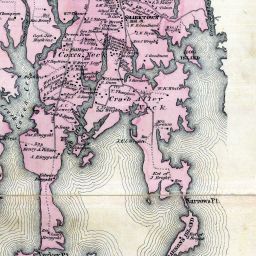
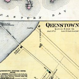


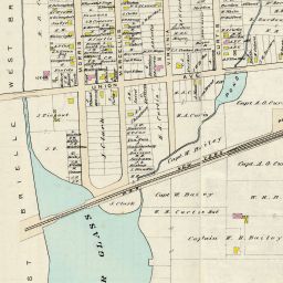

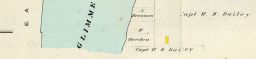


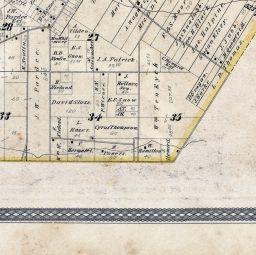
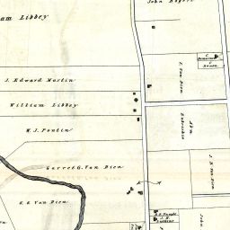
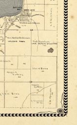
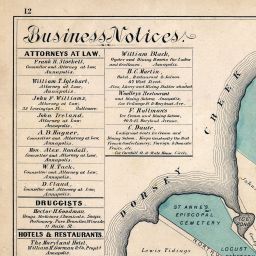
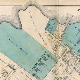
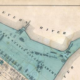
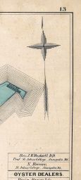
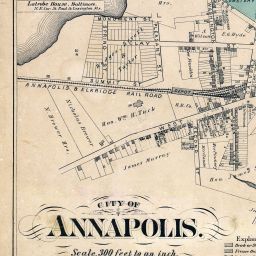
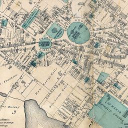
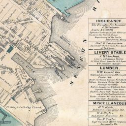
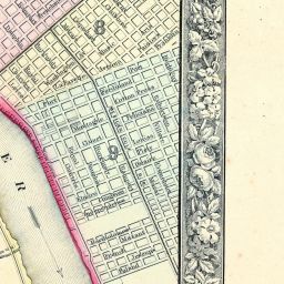
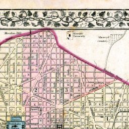
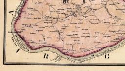
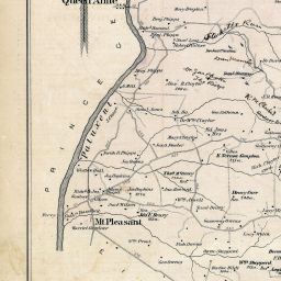
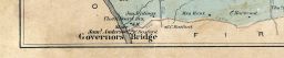
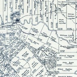
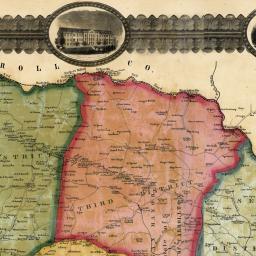
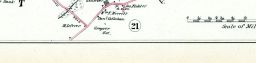
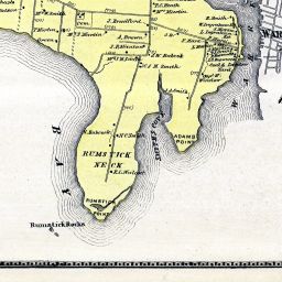
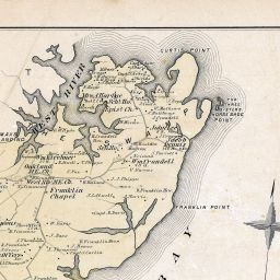
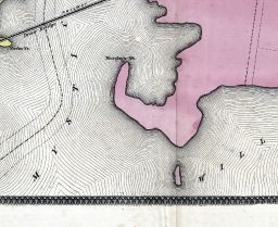
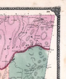
Anne Arundel County - District 2, Horn Point, Annapolis, Chesapeake Bay, Chesterfield, Rutland
(Baltimore and Anne Arundel County 1878)
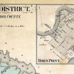
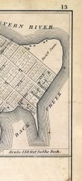
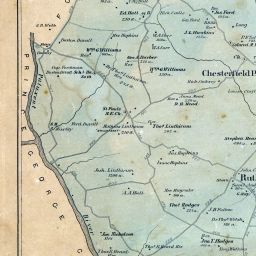

(Baltimore and Anne Arundel County 1878)

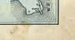
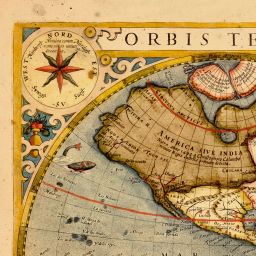
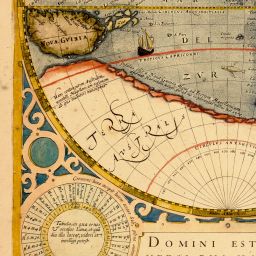
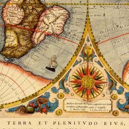
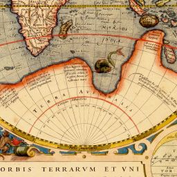
Map - Page 1 - NOVA TOTIVS TERRARVM ORBIS GEOGRAPHICA AC HYDROGRAPHICA TABULA. Auct- Henr- Hondio.
(NOVA TOTIVS TERRARVM ORBIS GEOGRAPHICA AC HYDROGRAPHICA TABULA. Auct- Henr- Hondio.)
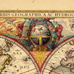


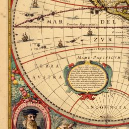


(NOVA TOTIVS TERRARVM ORBIS GEOGRAPHICA AC HYDROGRAPHICA TABULA. Auct- Henr- Hondio.)


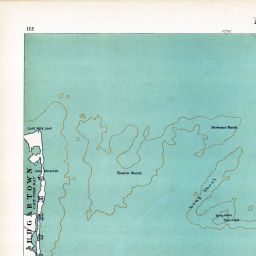
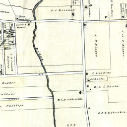
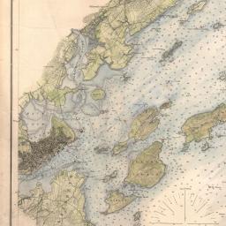
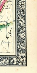
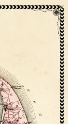
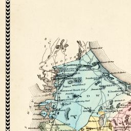
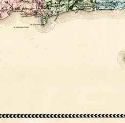
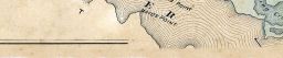
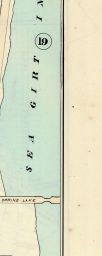
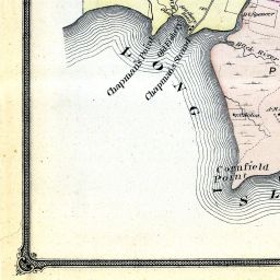
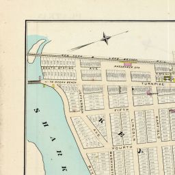
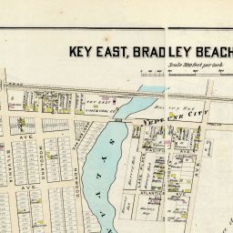
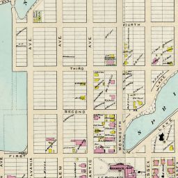
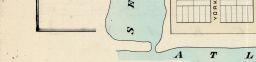
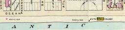
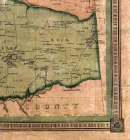
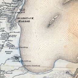
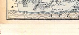
Saco Bay - Biddeford Pool - Old Orchard Beach - Scarborough - Pine Point - Prout's Neck 14x26
(Saco Bay - Biddeford Pool - Old Orchard Beach - Scarborough - Pine Point - Prout's Neck 1884)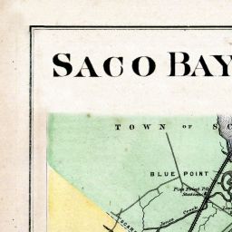
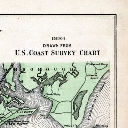

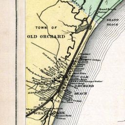

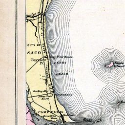
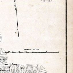

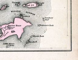

(Saco Bay - Biddeford Pool - Old Orchard Beach - Scarborough - Pine Point - Prout's Neck 1884)


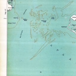
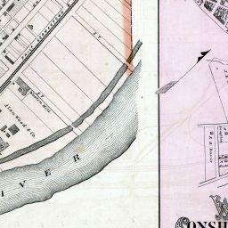
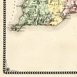
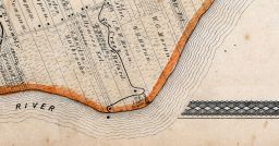
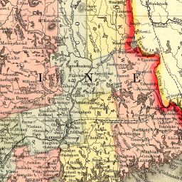
Brunswick, Harpswell, Harpswell West, Sebascodiggin Island, Orrs Island, Baileys Island
(Cumberland County 1871)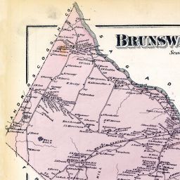
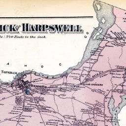
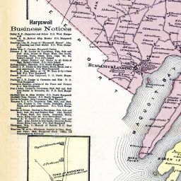
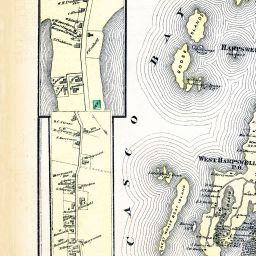
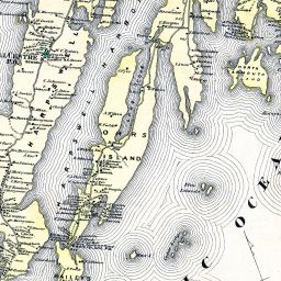
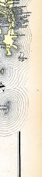
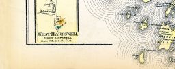
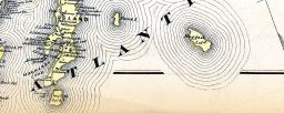

(Cumberland County 1871)


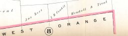
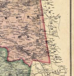
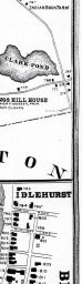
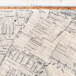
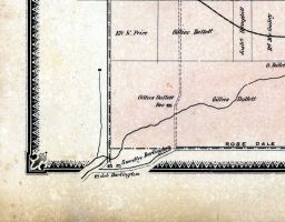
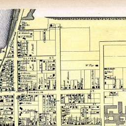
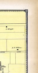
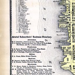
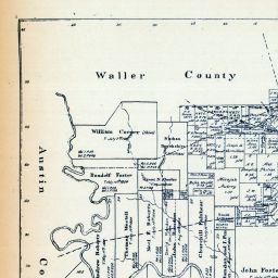
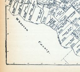
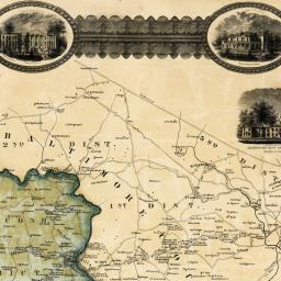
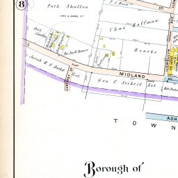
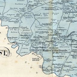
Anne Arundel County - District 8, Friendship, Bristol, Jewell, Hills Landing, Lancaster
(Baltimore and Anne Arundel County 1878)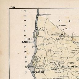
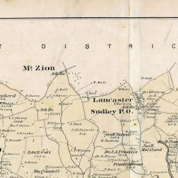

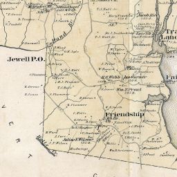
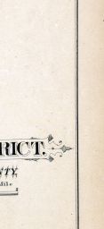
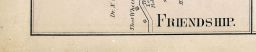

(Baltimore and Anne Arundel County 1878)


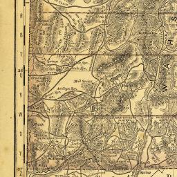


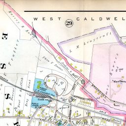
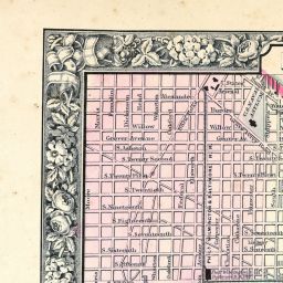
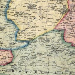
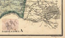
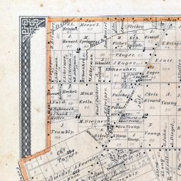
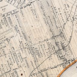
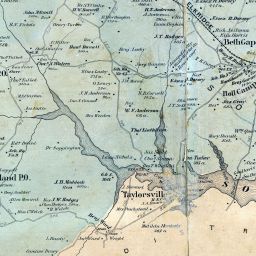
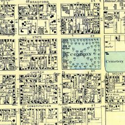
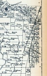
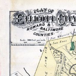
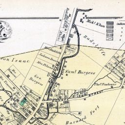
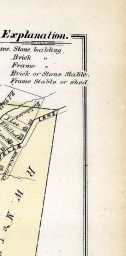
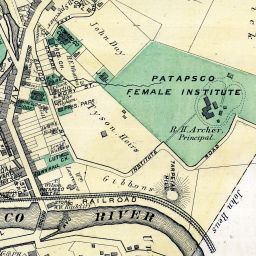
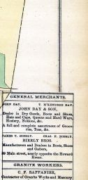
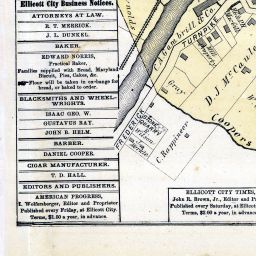
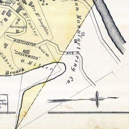
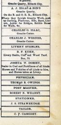
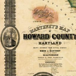
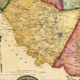
Howard County - District 5, Clarksville, Dayton, Tridelphia, Waters, Simpsonville, Oakland Mills
(Baltimore and Howard County 1878)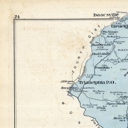
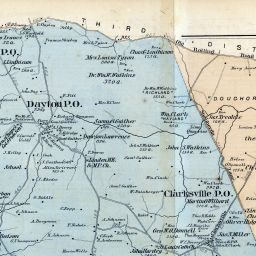
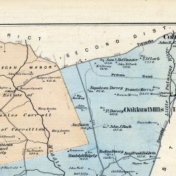
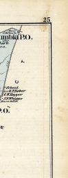
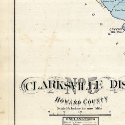
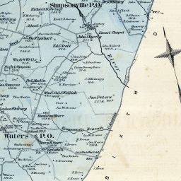

(Baltimore and Howard County 1878)


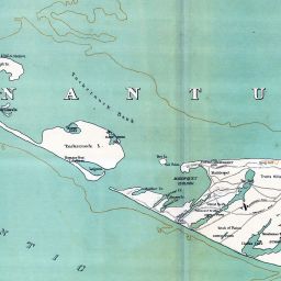
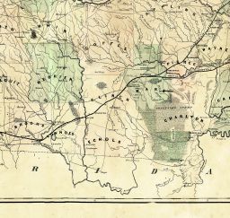
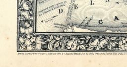
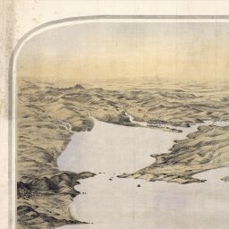
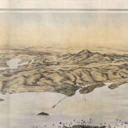
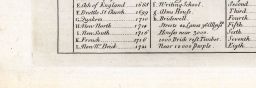
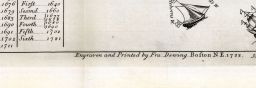
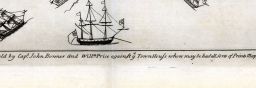
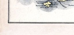
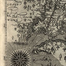
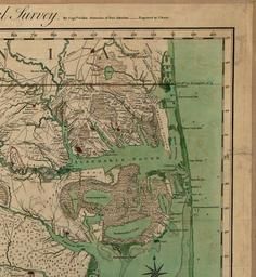
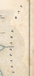
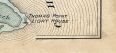
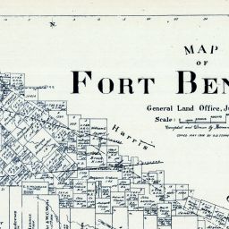
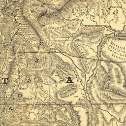
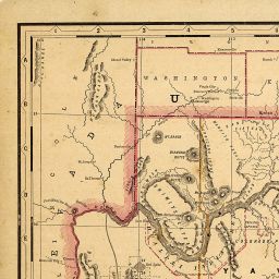
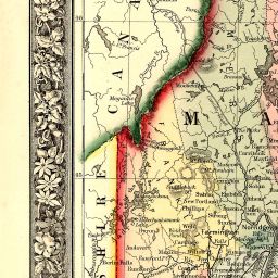
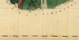
Beaufort County 1771c Savannah Sound to St
(Beaufort County 1771c Savannah Sound to St. Helena's Sound)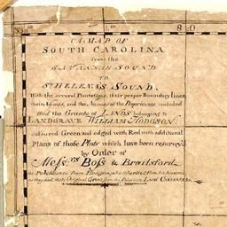
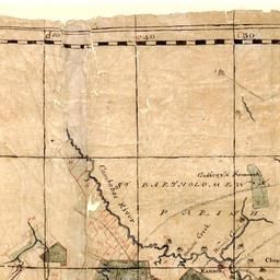
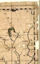
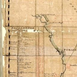
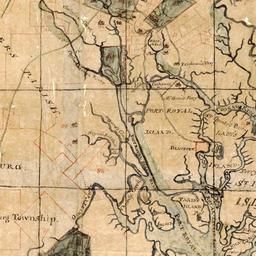

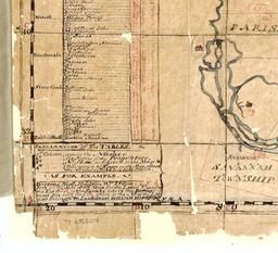
(Beaufort County 1771c Savannah Sound to St. Helena's Sound)